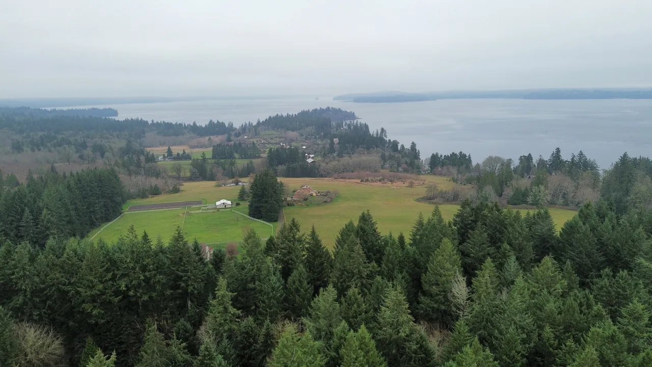
Pitt Passage connects Drayton Passage and Carr Inlet, running between Key Peninsula and McNeil Island.
The ebb, setting north, runs stronger than the flood — 2.5 knots or more at times.
Coast Pilot, In Plain Words
Here is what the U.S. Coast Pilot says about Pitt Passage and the water around it. The official text is below.
Local Knowledge
- Watch out
Pitt Island and its surrounding rocks and shoals block the middle of the channel. Boats that know these waters squeeze through east of the island; without that local knowledge, go around instead.
- Timing
The ebb, setting north, runs stronger than the flood — 2.5 knots or more at times.
- Tip
Wyckoff Shoal reaches 0.8 mile northwest from McNeil Island. Lights along its west side mark the east edge of the channel into Pitt Passage.
Plan a Trip Through Pitt Passage
1. Start from
Nearest harbor on each side of the narrows. Pick a side to start there.
2. Cross to the other side of Pitt Passage
Penrose Point State Park → Pitt Passage · 2.5 nm · ~0h 19m at · from the northwest
Stations & Data
Times are NOAA predictions, not live readings. Open a station for its full tide and current charts.
Questions
- What is Pitt Passage?
- Pitt Passage connects Drayton Passage and Carr Inlet, running between Key Peninsula and McNeil Island.
- When is the best time to go through Pitt Passage?
- The ebb, setting north, runs stronger than the flood — 2.5 knots or more at times.
- What should I watch out for at Pitt Passage?
- Pitt Island and its surrounding rocks and shoals block the middle of the channel. Boats that know these waters squeeze through east of the island; without that local knowledge, go around instead.
- What does Class 2 mean?
- Class 2 is BoatRoutes' own 1-to-5 rating of how costly a timing or judgment mistake is here — it is not a NOAA scale. Class 2 means one thing to plan around (depth, a schedule, or mild current); getting it wrong costs time, not safety.
Predictions, not observations · U.S. Coast Pilot 10 (7 ed.)
U.S. Coast Pilot text is a work of the U.S. Government and is in the public domain. Per 17 U.S.C. §403, no copyright is claimed in that text. BoatRoutes is not endorsed by NOAA.