Thatcher Pass runs between Blakely Island and Decatur Island and is the main ferry route between Anacortes and the San Juan Islands. It's about half a mile wide at its narrowest, and the water is deep and mostly clear of hazards.
Thatcher Pass runs between Blakely Island and Decatur Island and is the main ferry route between Anacortes and the San Juan Islands. It's about half a mile wide at its narrowest, and the water is deep and mostly clear of hazards.
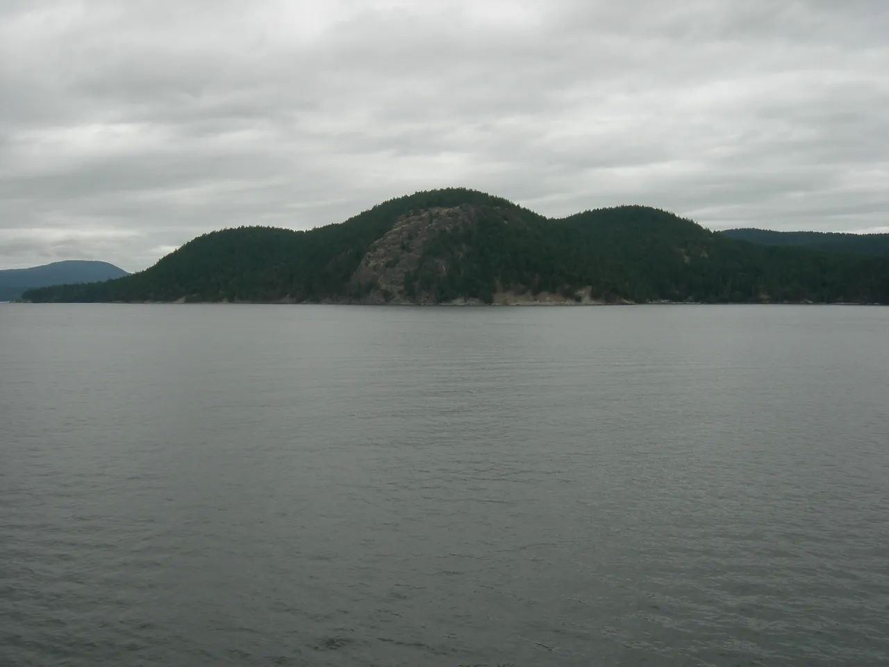
Coast Pilot, In Plain Words
Here is what the U.S. Coast Pilot says about Thatcher Pass and the water around it. The official text is below.
Local Knowledge
- Watch out
Lawson Rock sits in midchannel, a little under half a mile north of Fauntleroy Point. It's lit, but give it a wide berth — it's the one real obstruction in an otherwise open pass.
- Watch out
When the wind blows from the south against an ebb current, heavy rips build up off the east entrance near Fauntleroy Point. Currents through this stretch of Rosario Strait can run 3 to 7 knots.
- Tip
Washington State Ferries run through here constantly on the Anacortes run. Keep a sharp lookout and stay out of their way — they don't have much room to maneuver inside the pass.
Plan a Trip Through Thatcher Pass
1. Start from
Nearest harbor on each side of the narrows. Pick a side to start there.
2. Cross to the other side of Thatcher Pass
Cap Sante Marina (Anacortes) → Thatcher Pass · 11.0 nm · ~1h 23m at · from the east
Questions
- What is Thatcher Pass?
- Thatcher Pass runs between Blakely Island and Decatur Island and is the main ferry route between Anacortes and the San Juan Islands. It's about half a mile wide at its narrowest, and the water is deep and mostly clear of hazards.
- What should I watch out for at Thatcher Pass?
- Lawson Rock sits in midchannel, a little under half a mile north of Fauntleroy Point. It's lit, but give it a wide berth — it's the one real obstruction in an otherwise open pass.
- What does Class 2 mean?
- Class 2 is BoatRoutes' own 1-to-5 rating of how costly a timing or judgment mistake is here — it is not a NOAA scale. Class 2 means one thing to plan around (depth, a schedule, or mild current); getting it wrong costs time, not safety.
Predictions, not observations · U.S. Coast Pilot 10 (7 ed.)
U.S. Coast Pilot text is a work of the U.S. Government and is in the public domain. Per 17 U.S.C. §403, no copyright is claimed in that text. BoatRoutes is not endorsed by NOAA.