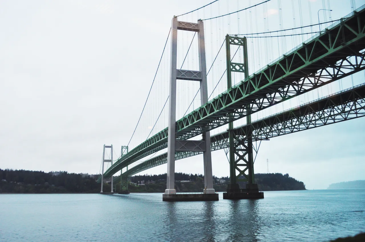
The Narrows is the channel between Tacoma and the Kitsap Peninsula, spanned by the Tacoma Narrows Bridge. Current can top 5 knots, among the strongest stretches in Puget Sound.
NOAA publishes daily current predictions for a midstream spot near the north end of The Narrows. Check them before a transit — the currents get more complicated further south into the sound.
Coast Pilot, In Plain Words
Here is what the U.S. Coast Pilot says about Tacoma Narrows and the water around it. The official text is below.
Local Knowledge
- Watch out
At the north end, the current sets north along the east shore and south along the west shore for most of the cycle. The two sides can be running opposite directions at the same time.
- Tip
Power cables cross 200 yards south of Point Evans with 200 feet of clearance. The bridge itself, about a mile further south, clears 160 feet at the piers and 180 feet at the center.
- Timing
NOAA publishes daily current predictions for a midstream spot near the north end of The Narrows. Check them before a transit — the currents get more complicated further south into the sound.
Plan a Trip Through Tacoma Narrows
1. Start from
Nearest harbor on each side of the narrows. Pick a side to start there.
2. Cross to the other side of Tacoma Narrows
Point Defiance Boathouse → Tacoma Narrows · 3.0 nm · ~0h 23m at · from the northeast
Full departure plan →Questions
- What is Tacoma Narrows?
- The Narrows is the channel between Tacoma and the Kitsap Peninsula, spanned by the Tacoma Narrows Bridge. Current can top 5 knots, among the strongest stretches in Puget Sound.
- When is the best time to go through Tacoma Narrows?
- NOAA publishes daily current predictions for a midstream spot near the north end of The Narrows. Check them before a transit — the currents get more complicated further south into the sound.
- What should I watch out for at Tacoma Narrows?
- At the north end, the current sets north along the east shore and south along the west shore for most of the cycle. The two sides can be running opposite directions at the same time.
- What does Class 4 mean?
- Class 4 is BoatRoutes' own 1-to-5 rating of how costly a timing or judgment mistake is here — it is not a NOAA scale. Class 4 means strong current, rips, or heavy traffic — a mistimed run puts small boats in real difficulty.
Predictions, not observations · U.S. Coast Pilot 10 (7 ed.)
U.S. Coast Pilot text is a work of the U.S. Government and is in the public domain. Per 17 U.S.C. §403, no copyright is claimed in that text. BoatRoutes is not endorsed by NOAA.