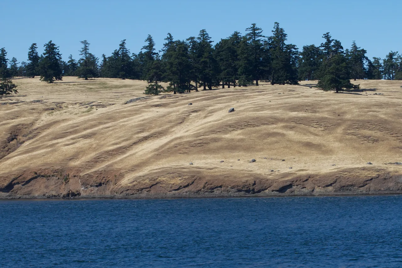
Spieden Channel runs east between Spieden Island and the north side of San Juan Island, linking Haro Strait to President Channel and San Juan Channel. The narrow east end is about six-tenths of a mile wide.
The west end of the channel has an uneven bottom with a few charted dangers, though the main fairway stays deep throughout. Time your run for slack or a lighter current stage, and keep to the marked fairway.
Coast Pilot, In Plain Words
Here is what the U.S. Coast Pilot says about Spieden Channel and the water around it. The official text is below.
Local Knowledge
- Watch out
Danger Shoal sits in the fairway partway between Battleship Island and Spieden Bluff, with only about six feet of water over it. A lighted buoy marks it, and kelp grows on top.
- Watch out
The flood tide arrives from two directions here — east out of Haro Strait and west out of San Juan Channel — and where the two meet, the water piles up into heavy rips and eddies. This channel is not a good choice for sailboats.
- Timing
The west end of the channel has an uneven bottom with a few charted dangers, though the main fairway stays deep throughout. Time your run for slack or a lighter current stage, and keep to the marked fairway.
Plan a Trip Through Spieden Channel
1. Start from
Nearest harbor on each side of the narrows. Pick a side to start there.
2. Cross to the other side of Spieden Channel
Snug Harbor Marina Resort → Spieden Channel · 4.0 nm · ~0h 30m at · from the southwest
Full departure plan →Questions
- What is Spieden Channel?
- Spieden Channel runs east between Spieden Island and the north side of San Juan Island, linking Haro Strait to President Channel and San Juan Channel. The narrow east end is about six-tenths of a mile wide.
- When is the best time to go through Spieden Channel?
- The west end of the channel has an uneven bottom with a few charted dangers, though the main fairway stays deep throughout. Time your run for slack or a lighter current stage, and keep to the marked fairway.
- What should I watch out for at Spieden Channel?
- Danger Shoal sits in the fairway partway between Battleship Island and Spieden Bluff, with only about six feet of water over it. A lighted buoy marks it, and kelp grows on top.
- What does Class 2 mean?
- Class 2 is BoatRoutes' own 1-to-5 rating of how costly a timing or judgment mistake is here — it is not a NOAA scale. Class 2 means one thing to plan around (depth, a schedule, or mild current); getting it wrong costs time, not safety.
Predictions, not observations · U.S. Coast Pilot 10 (7 ed.)
U.S. Coast Pilot text is a work of the U.S. Government and is in the public domain. Per 17 U.S.C. §403, no copyright is claimed in that text. BoatRoutes is not endorsed by NOAA.