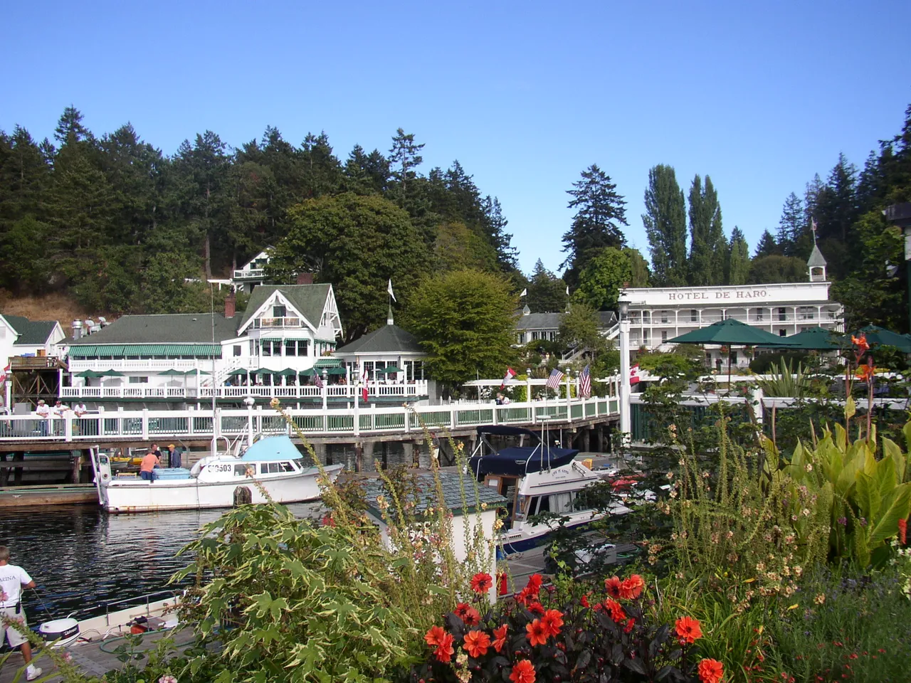
Roche Harbor has two ways in. The main entrance runs between the north end of Henry Island and the west end of Pearl Island. A second entrance comes from the south through Mosquito Pass, between Henry Island and Bazalgette Point.
Roche Harbor has two ways in. The main entrance runs between the north end of Henry Island and the west end of Pearl Island. A second entrance comes from the south through Mosquito Pass, between Henry Island and Bazalgette Point.
Coast Pilot, In Plain Words
Here is what the U.S. Coast Pilot says about Roche Harbor Entrances and the water around it. The official text is below.
Local Knowledge
- Watch out
Sandspits reach into the fairway from both sides of the main entrance, covered by 17 and 18 feet of water — enough for most boats, but worth knowing about.
- Tip
Battleship Island marks the west point of the approach from Spieden Channel and Haro Strait. Boats coming that way should also mind Danger Shoal, in the Spieden Channel fairway partway between Battleship Island and Spieden Bluff.
- Tip
Roche Harbor is a U.S. Customs port of entry — there's a customs office at the resort dock on the harbor's east side, staffed full-time in summer, for boats arriving from Canada.
Plan a Trip Through Roche Harbor Entrances
1. Start from
Nearest harbor on each side of the narrows. Pick a side to start there.
2. Cross to the other side of Roche Harbor Entrances
Snug Harbor Marina Resort → Roche Harbor Entrances · 2.5 nm · ~0h 19m at · from the south
Full departure plan →Questions
- What is Roche Harbor Entrances?
- Roche Harbor has two ways in. The main entrance runs between the north end of Henry Island and the west end of Pearl Island. A second entrance comes from the south through Mosquito Pass, between Henry Island and Bazalgette Point.
- What should I watch out for at Roche Harbor Entrances?
- Sandspits reach into the fairway from both sides of the main entrance, covered by 17 and 18 feet of water — enough for most boats, but worth knowing about.
- What does Class 1 mean?
- Class 1 is BoatRoutes' own 1-to-5 rating of how costly a timing or judgment mistake is here — it is not a NOAA scale. Class 1 means no meaningful timing constraint — ordinary care and a chart.
Predictions, not observations · U.S. Coast Pilot 10 (7 ed.)
U.S. Coast Pilot text is a work of the U.S. Government and is in the public domain. Per 17 U.S.C. §403, no copyright is claimed in that text. BoatRoutes is not endorsed by NOAA.