Rich Passage 3
Open the map ↗

Rich Passage is the main east route into Port Orchard, running about 3 miles between Restoration Point and Blake Island on the east end and Waterman Point on the west. It bends sharply near the west end, where it narrows to about 0.2 mile.

Timing

Current builds from east to west through the channel. Off Point White, at the west end, it averages about 2.4 knots on the flood and 3.1 knots on the ebb — ferry pilots have reported ebb currents of at least 6 knots there at times.
Coast Pilot, In Plain Words

Here is what the U.S. Coast Pilot says about Rich Passage and the water around it. The official text is below.

Read the official text

Illahee to Beans Point

The east and principal approach to Port Orchard from Puget Sound is south of Bainbridge Island through Rich Passage, between Restoration Point and Blake Island. It is deep and almost free from dangers, except for Bainbridge Reef, covered 35 to 55 feet, and currents in the constricted west part of Rich Passage. Bainbridge Reef is marked at the southwest end by a lighted buoy.

Orchard Point, the south point at the entrance to Rich Passage, is marked by a light with a mariner-radio-activated sound signal, initiated by keying the microphone five times on VHF-FM channel 81A. A naval restricted area is on the south side of the point, surrounding the pier projecting south from the shoreline. (See 33 CFR 334.1244, Chapter 2, for limits and regulations.) A general anchorage is in the vicinity of the point. (See 33 CFR 110.1 and 110.230, chapter 2, for limits and regulations.)

Rich Passage is about 3 miles long, with a sharp bend near its west end, where it narrows to 0.2 mile. Orchard Rocks, some 400 yards in extent, are on the north side of the channel just inside the east entrance. A small area near the center of the reef, which uncovers, is marked by a daybeacon. The rocks are marked off their south end by a lighted buoy. The reef off Point Glover is marked by a light and a mariner-radio-activated sound signal, initiated by keying the microphone five times on VHF-FM channel 83A. Waterman Point, at the west entrance, is marked by a light and a mariner-radio-activated sound signal, initiated by keying the microphone five times on VHF-FM channel 81A. A light marks the south edge of the shoal extending from Point White, the north point at the west entrance. The town of Waterman has a pier and float in deep water about 1 mile southwest of Waterman Point.

Currents

Continuous observations in midchannel between Point Glover and Point White and at other points in the passage indicate that current velocities increase from east to west in Rich Passage reaching a maximum average velocity of 2.4 knots on the flood and 3.1 knots on the ebb at the west end off Point White. The strongest observed currents were 4 knots on the flood and 5 knots on the ebb. Ferry pilots on the regular daily run between Seattle and Bremerton advised that on rare occasions they have experienced ebb currents of “at least” 6 knots in the vicinity of Light 10.

In the channel off Orchard Point, at the east end of Rich Passage, the velocity of the flood is 0.8 knot and on the ebb, 1.1 knots. Off Pleasant Beach the velocity of the flood is 1.3 knots and on the ebb, 2.8 knots.

Mariners unfamiliar with the area should not attempt to navigate Port Orchard, and particularly Rich Passage, in thick weather because of the strong tidal currents. In clear weather, however, the navigation of these waters presents no unusual difficulty.

Caution

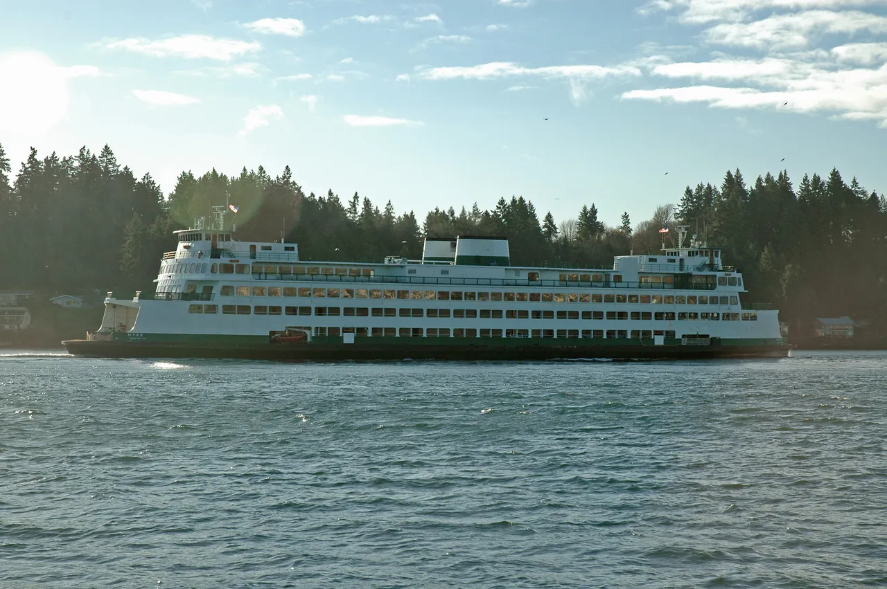
Rich Passage, because of activities of the Puget Sound Naval Shipyard, has a large volume of traffic. Many ferries a day each way, tugs with hawser tows and various types of naval craft, all contribute to create a considerable collision hazard in the passage, particularly at the sharp bend off Point Glover. Strong tidal conditions prevail in this vicinity, and deep-draft outbound vessels making the sharp turn may be unavoidably set well over toward the east shore, necessitating a two-blast, starboard-to-starboard meeting with inbound vessels. Vessels approaching Point Glover from either direction should sound one long blast when within 0.5 mile of the point as a warning to any vessel approaching from the opposite direction.

Source: U.S. Coast Pilot 10, Chapter 8, 7 ed. (NOAA, Office of Coast Survey). Updated weekly. Official Coast Pilot ↗

Local Knowledge

  • Watch out

    Orchard Rocks sit on the north side of the channel just inside the east entrance, marked by a daybeacon and a lighted buoy. Bainbridge Reef, covered by 35 to 55 feet, lies further out toward the approach and carries its own lighted buoy.

  • Timing

    Current builds from east to west through the channel. Off Point White, at the west end, it averages about 2.4 knots on the flood and 3.1 knots on the ebb — ferry pilots have reported ebb currents of at least 6 knots there at times.

  • Tip

    The sharp bend off Point Glover sees heavy traffic: Seattle to Bremerton ferries, tugs with tows, and Navy craft. Boats sound one long blast within half a mile of the point to warn traffic coming the other way.

Plan a Trip Through Rich Passage

1. Start from

2. Cross to the other side of Rich Passage

Bremerton MarinaRich Passage · 5.5 nm · ~0h 41m at · from the southwest

Stations & Data

Times are NOAA predictions, not live readings. Open a station for its full tide and current charts.

Questions

What is Rich Passage?
Rich Passage is the main east route into Port Orchard, running about 3 miles between Restoration Point and Blake Island on the east end and Waterman Point on the west. It bends sharply near the west end, where it narrows to about 0.2 mile.
When is the best time to go through Rich Passage?
Current builds from east to west through the channel. Off Point White, at the west end, it averages about 2.4 knots on the flood and 3.1 knots on the ebb — ferry pilots have reported ebb currents of at least 6 knots there at times.
What should I watch out for at Rich Passage?
Orchard Rocks sit on the north side of the channel just inside the east entrance, marked by a daybeacon and a lighted buoy. Bainbridge Reef, covered by 35 to 55 feet, lies further out toward the approach and carries its own lighted buoy.
What does Class 3 mean?
Class 3 is BoatRoutes' own 1-to-5 rating of how costly a timing or judgment mistake is here — it is not a NOAA scale. Class 3 means real current or confined water — cross near slack or a fair stage; a mistimed run demands attention.

Predictions, not observations · U.S. Coast Pilot 10 (7 ed.)