Port Washington Narrows runs about 3 miles, joining Sinclair Inlet to Dyes Inlet through the middle of Bremerton. Current can top 4 knots at times.
Port Washington Narrows runs about 3 miles, joining Sinclair Inlet to Dyes Inlet through the middle of Bremerton. Current can top 4 knots at times.
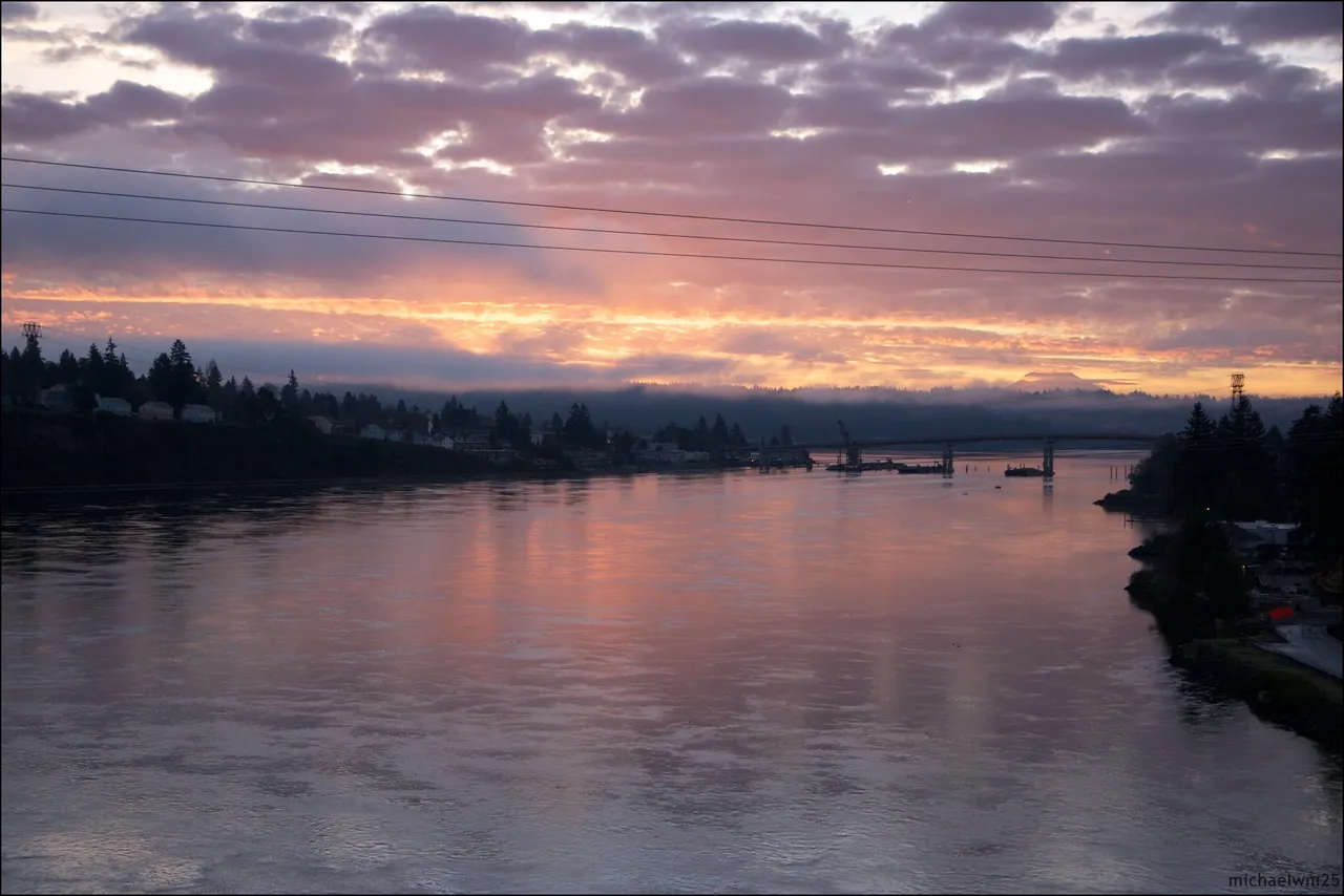
Coast Pilot, In Plain Words
Here is what the U.S. Coast Pilot says about Port Washington Narrows and the water around it. The official text is below.
Local Knowledge
- Watch out
Phinney Bay opens off the west shore near the north end, home to the Bremerton Yacht Club. Rocky Point, at the north entrance, gets tide rips.
- Tip
The Manette Bridge, near the south entrance by East Bremerton, clears about 74 feet. A second highway bridge further north clears about 80 feet.
- Watch out
Petroleum storage and receiving wharves line the west shore between the south bridge and Phinney Bay — give them a wide berth.
Plan a Trip Through Port Washington Narrows
1. Start from
Nearest harbor on each side of the narrows. Pick a side to start there.
2. Cross to the other side of Port Washington Narrows
Dyes Inlet → Port Washington Narrows · 3.0 nm · ~0h 23m at · from the northwest
Full departure plan →Stations & Data
Times are NOAA predictions, not live readings. Open a station for its full tide and current charts.
Questions
- What is Port Washington Narrows?
- Port Washington Narrows runs about 3 miles, joining Sinclair Inlet to Dyes Inlet through the middle of Bremerton. Current can top 4 knots at times.
- What should I watch out for at Port Washington Narrows?
- Phinney Bay opens off the west shore near the north end, home to the Bremerton Yacht Club. Rocky Point, at the north entrance, gets tide rips.
- What does Class 3 mean?
- Class 3 is BoatRoutes' own 1-to-5 rating of how costly a timing or judgment mistake is here — it is not a NOAA scale. Class 3 means real current or confined water — cross near slack or a fair stage; a mistimed run demands attention.
Predictions, not observations · U.S. Coast Pilot 10 (7 ed.)
U.S. Coast Pilot text is a work of the U.S. Government and is in the public domain. Per 17 U.S.C. §403, no copyright is claimed in that text. BoatRoutes is not endorsed by NOAA.