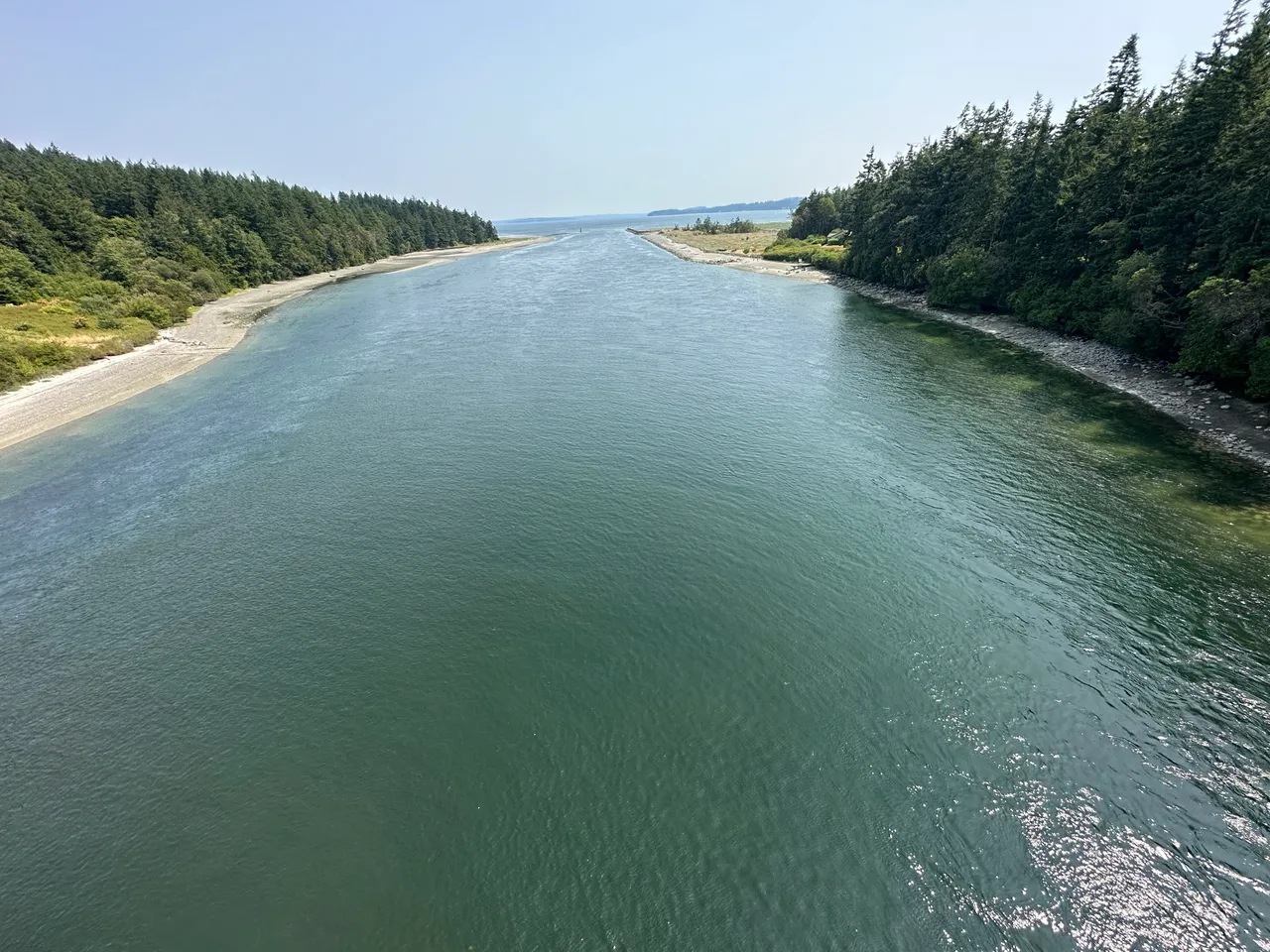
Port Townsend Canal is a dredged cut that links Port Townsend Bay to Oak Bay, to the southeast. Lights and daybeacons mark both ends of the channel.
Port Townsend Canal is a dredged cut that links Port Townsend Bay to Oak Bay, to the southeast. Lights and daybeacons mark both ends of the channel.
Coast Pilot, In Plain Words
Here is what the U.S. Coast Pilot says about Port Townsend Canal and the water around it. The official text is below.
Local Knowledge
- Watch out
The channel runs wide and straight, so the current itself isn't the main danger. Eddies do build at the south end on the ebb, so expect some swirl there.
- Tip
A fixed highway bridge crosses the canal with 58 feet of clearance. Power cables nearby clear about 90 feet.
- Tip
A small marina — Port Hadlock Marina — sits about 0.4 mile southwest of the canal's north entrance, with fuel and transient moorage before or after a transit.
Plan a Trip Through Port Townsend Canal
1. Start from
2. Cross to the other side of Port Townsend Canal
Port Townsend Boat Haven → Port Townsend Canal · 6.0 nm · ~0h 45m at · from the north
Full departure plan →Stations & Data
Times are NOAA predictions, not live readings. Open a station for its full tide and current charts.
Questions
- What is Port Townsend Canal?
- Port Townsend Canal is a dredged cut that links Port Townsend Bay to Oak Bay, to the southeast. Lights and daybeacons mark both ends of the channel.
- What should I watch out for at Port Townsend Canal?
- The channel runs wide and straight, so the current itself isn't the main danger. Eddies do build at the south end on the ebb, so expect some swirl there.
- What does Class 2 mean?
- Class 2 is BoatRoutes' own 1-to-5 rating of how costly a timing or judgment mistake is here — it is not a NOAA scale. Class 2 means one thing to plan around (depth, a schedule, or mild current); getting it wrong costs time, not safety.
Predictions, not observations · U.S. Coast Pilot 10 (7 ed.)
U.S. Coast Pilot text is a work of the U.S. Government and is in the public domain. Per 17 U.S.C. §403, no copyright is claimed in that text. BoatRoutes is not endorsed by NOAA.