Hale Passage runs between Fox Island and the mainland, linking Puget Sound near the Narrows to Carr Inlet about 4 miles away.
Current in Hale Passage can top 3 knots. The east-setting ebb runs stronger than the west-setting flood.
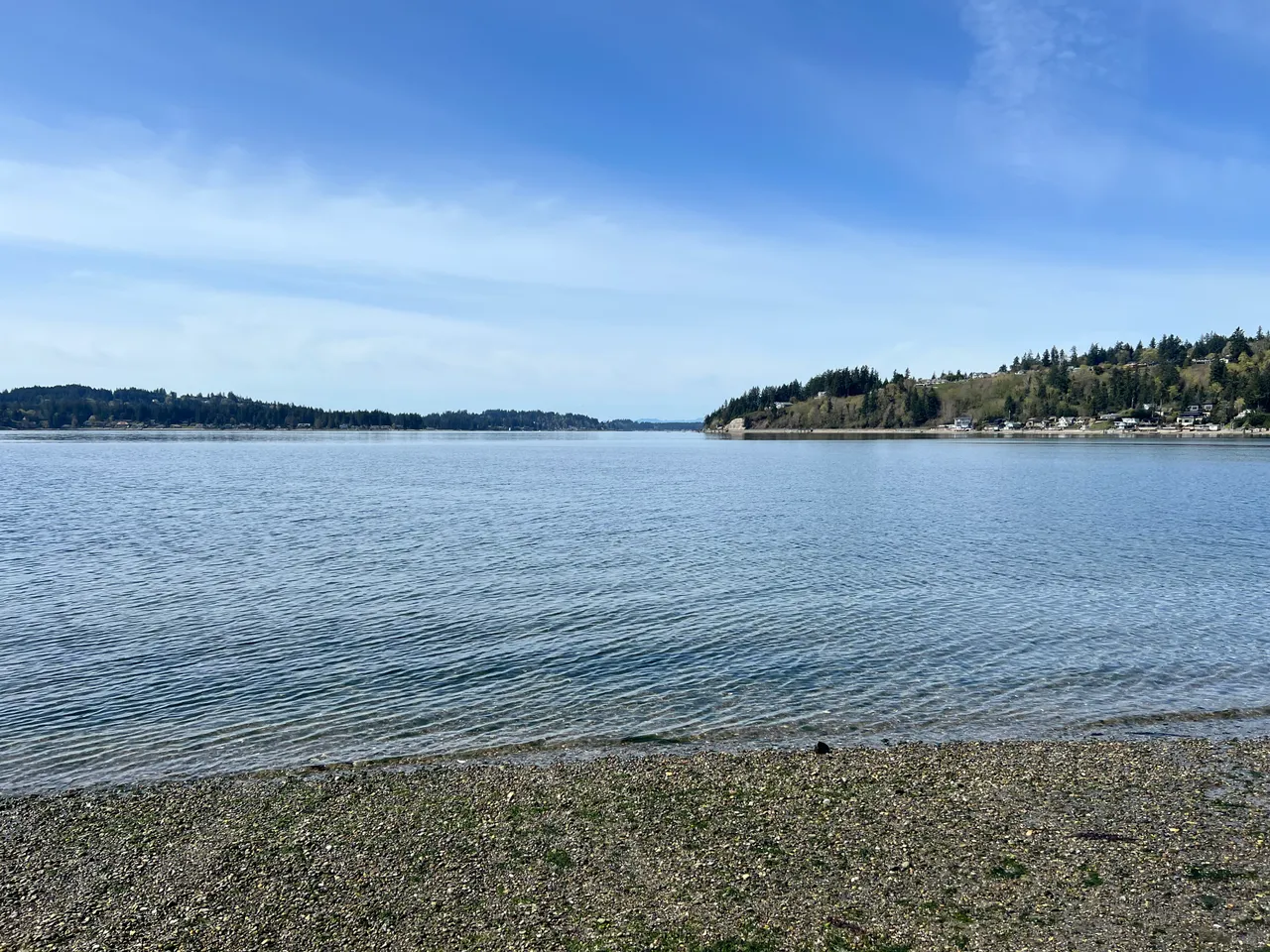
Coast Pilot, In Plain Words
Here is what the U.S. Coast Pilot says about Hale Passage and the water around it. The official text is below.
Local Knowledge
- Watch out
A boulder-strewn shoal sits near the middle of the channel, about 350 yards southeast of the bridge. A buoy marks its northeast side, and the channel runs on the buoy's northeast side.
- Timing
Current in Hale Passage can top 3 knots. The east-setting ebb runs stronger than the west-setting flood.
- Tip
A fixed highway bridge crosses near the west end with 31 feet of clearance. Small boats anchor on either side of Tanglewood Island, in the middle of the channel.
Plan a Trip Through Hale Passage
1. Start from
2. Cross to the other side of Hale Passage
Gig Harbor Marina & Boatyard → Hale Passage · 6.0 nm · ~0h 45m at · from the northeast
Full departure plan →Stations & Data
Times are NOAA predictions, not live readings. Open a station for its full tide and current charts.
Questions
- What is Hale Passage?
- Hale Passage runs between Fox Island and the mainland, linking Puget Sound near the Narrows to Carr Inlet about 4 miles away.
- When is the best time to go through Hale Passage?
- Current in Hale Passage can top 3 knots. The east-setting ebb runs stronger than the west-setting flood.
- What should I watch out for at Hale Passage?
- A boulder-strewn shoal sits near the middle of the channel, about 350 yards southeast of the bridge. A buoy marks its northeast side, and the channel runs on the buoy's northeast side.
- What does Class 2 mean?
- Class 2 is BoatRoutes' own 1-to-5 rating of how costly a timing or judgment mistake is here — it is not a NOAA scale. Class 2 means one thing to plan around (depth, a schedule, or mild current); getting it wrong costs time, not safety.
Predictions, not observations · U.S. Coast Pilot 10 (7 ed.)
U.S. Coast Pilot text is a work of the U.S. Government and is in the public domain. Per 17 U.S.C. §403, no copyright is claimed in that text. BoatRoutes is not endorsed by NOAA.