Cattle Pass is the south mouth of San Juan Channel, near Cattle Point on the southeast tip of San Juan Island. The channel itself is deep, but rocks and shoals sit near this southern opening. The average current is about 2.6 knots, and a strong flood can reach 5 knots or more.
The rips are worst on a strong flood against a wind. Plan your run around the current so you cross near slack or on a gentler stage.
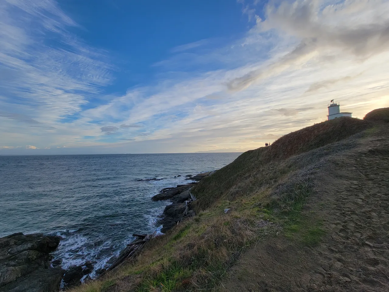
Coast Pilot, In Plain Words
Here is what the U.S. Coast Pilot says about Cattle Pass and the water around it. The official text is below.
Local Knowledge
- Watch out
Strong floods raise sharp rips and eddies near the south end. Watch for Salmon Bank, Whale Rocks, and other shoals close to the opening. These are the reason the channel needs care here even though it is open water elsewhere.
- Timing
The rips are worst on a strong flood against a wind. Plan your run around the current so you cross near slack or on a gentler stage.
Plan a Trip Through Cattle Pass
1. Start from
2. Cross to the other side of Cattle Pass
Port of Friday Harbor Marina → Cattle Pass · 8.0 nm · ~1h 0m at · from the northwest
Stations & Data
Times are NOAA predictions, not live readings. Open a station for its full tide and current charts.
Questions
- What is Cattle Pass?
- Cattle Pass is the south mouth of San Juan Channel, near Cattle Point on the southeast tip of San Juan Island. The channel itself is deep, but rocks and shoals sit near this southern opening. The average current is about 2.6 knots, and a strong flood can reach 5 knots or more.
- When is the best time to go through Cattle Pass?
- The rips are worst on a strong flood against a wind. Plan your run around the current so you cross near slack or on a gentler stage.
- What should I watch out for at Cattle Pass?
- Strong floods raise sharp rips and eddies near the south end. Watch for Salmon Bank, Whale Rocks, and other shoals close to the opening. These are the reason the channel needs care here even though it is open water elsewhere.
- What does Class 3 mean?
- Class 3 is BoatRoutes' own 1-to-5 rating of how costly a timing or judgment mistake is here — it is not a NOAA scale. Class 3 means real current or confined water — cross near slack or a fair stage; a mistimed run demands attention.
Predictions, not observations · U.S. Coast Pilot 10 (7 ed.)
U.S. Coast Pilot text is a work of the U.S. Government and is in the public domain. Per 17 U.S.C. §403, no copyright is claimed in that text. BoatRoutes is not endorsed by NOAA.