This channel is the north entrance to Port Orchard, west of Bainbridge Island, and connects it with Port Madison. It is about a mile long and runs to the southwest with steep, wooded shores. The current reaches 6 knots. It floods to the southwest and ebbs to the northeast.
This channel is the north entrance to Port Orchard, west of Bainbridge Island, and connects it with Port Madison. It is about a mile long and runs to the southwest with steep, wooded shores. The current reaches 6 knots. It floods to the southwest and ebbs to the northeast.
Coast Pilot, In Plain Words
Here is what the U.S. Coast Pilot says about Agate Passage and the water around it. The official text is below.
Local Knowledge
- Watch out
A shoal near the middle of the north end carries only about 9 feet. The shoreline is rocky and fringed with kelp. Stay in the marked channel and mind the current, which can push a boat off track.
- Tip
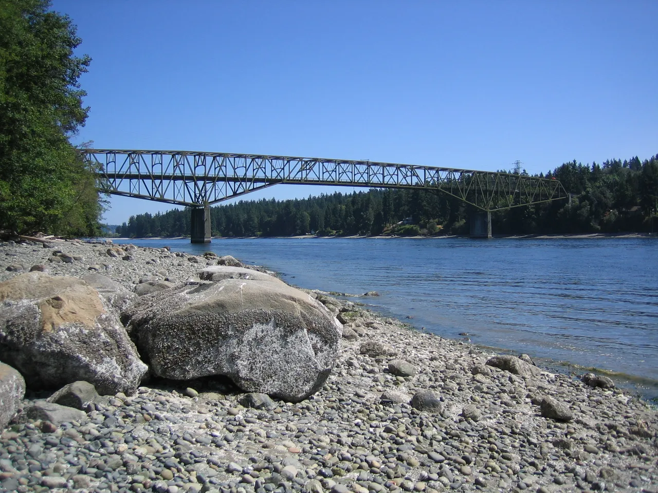
A fixed highway bridge crosses the channel with about 75 feet of clearance. Power cables run near the bridge on both sides, with a least clearance of about 96 feet. Time your run near slack or ride the fair current with you.
Plan a Trip Through Agate Passage
1. Start from
Nearest harbor on each side of the narrows. Pick a side to start there.
2. Cross to the other side of Agate Passage
Port of Poulsbo Marina → Agate Passage · 4.0 nm · ~0h 30m at · from the west
Full departure plan →Stations & Data
Times are NOAA predictions, not live readings. Open a station for its full tide and current charts.
Questions
- What is Agate Passage?
- This channel is the north entrance to Port Orchard, west of Bainbridge Island, and connects it with Port Madison. It is about a mile long and runs to the southwest with steep, wooded shores. The current reaches 6 knots. It floods to the southwest and ebbs to the northeast.
- What should I watch out for at Agate Passage?
- A shoal near the middle of the north end carries only about 9 feet. The shoreline is rocky and fringed with kelp. Stay in the marked channel and mind the current, which can push a boat off track.
- What does Class 3 mean?
- Class 3 is BoatRoutes' own 1-to-5 rating of how costly a timing or judgment mistake is here — it is not a NOAA scale. Class 3 means real current or confined water — cross near slack or a fair stage; a mistimed run demands attention.
Predictions, not observations · U.S. Coast Pilot 10 (7 ed.)
U.S. Coast Pilot text is a work of the U.S. Government and is in the public domain. Per 17 U.S.C. §403, no copyright is claimed in that text. BoatRoutes is not endorsed by NOAA.